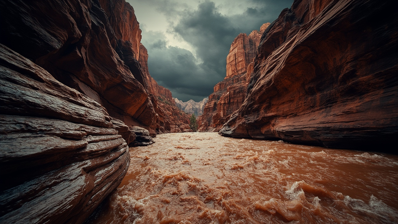
TL;DR: The National Weather Service issued a Flash Flood Warning for Zion National Park, Springdale and Rockville on Oct. 11, 2026, warning of life-threatening flooding in creeks, washes and roadways.
SPRINGDALE, Utah — Anyone in or near Zion National Park on Sunday afternoon, Oct. 11, 2026, needed to treat low ground, narrow canyons and flooded roads as dangerous. The National Weather Service in Salt Lake City issued a Flash Flood Warning for west-central Kane County and east-central Washington County, including the park, Springdale and Rockville, after National Park Service officials reported thunderstorms producing heavy rain and ongoing flash flooding, according to KUTV.
The initial warning took effect at 2:59 p.m. local time and was scheduled to last until 6:00 p.m. Sunday, according to ABC4. Forecasters said between one-half inch and 1 inch of rain had already fallen in the warned area when that alert went out, and described flash flooding as ongoing. A later alert feed extended the same Zion-area warning until 8:00 p.m. MDT after additional reports from park officials, with estimated rainfall of 0.5 to 1.5 inches and flooding already occurring, according to the NWS Salt Lake City alert republished by Forth.
The Weather Service used plain language for the threat: life-threatening flash flooding. That wording covered creeks, streams, slot canyons, normally dry washes, urban areas, highways, streets and underpasses, according to KUTV and Forth. Drivers were told not to attempt to cross flooded roads, and the alert repeated the national guidance, “Turn around, don’t drown when encountering flooded roads. Most flood deaths occur in vehicles.”
Who and where the warning covered
The Zion-area warning named three locations that would experience flash flooding: Zion National Park, Springdale and Rockville, according to Forth.
The county-level description was west-central Kane County in southern Utah and east-central Washington County in southwestern Utah, according to ABC4. KUTV reported that the warned polygon included an estimated population of 1,741 people and one school.
That population figure matters for household planning. A warning that lists a small resident number can still affect thousands of visitors, day-hikers, shuttle riders and through-drivers who are not counted as residents. Zion’s main canyon road, gateway towns and trailheads concentrate people near the Virgin River, side washes and low-water crossings where water can rise fast.
Why officials called it life-threatening
The warning was based on observed conditions, not only forecast rain. National Park Service officials reported thunderstorms producing heavy rain and flash flooding across Zion National Park, according to Forth and KUTV.
At the time of the 2:59 p.m. MDT issuance, between one-half inch and 1 inch had fallen, and flash flooding was ongoing, according to ABC4. By the 5:54 p.m. MDT update, the reported total had risen to between 0.5 and 1.5 inches, with flash flooding already occurring, according to Forth.
In steep desert terrain, those totals can create danger out of proportion to the number. Slickrock sheds water, narrow canyons concentrate it, and normally dry washes can carry a surge from a storm miles away. The updated warning therefore listed creeks, streams, slot canyons and normally dry washes as places where life-threatening flooding was expected, according to Forth.
The earlier KUTV report used a similar impact list for the initial warning: creeks, streams, urban areas, highways, streets and underpasses. The Fox13Now report on the same warning also described life-threatening flash flooding of creeks and streams, urban areas, highways, streets and underpasses as possible.
The Narrows and slot canyons were closed
Separately from the county warning, park managers closed the highest-risk hiking routes. The Virgin River Narrows and all slot canyons at Zion were closed because of active or anticipated flash flooding, according to American Parks.
That closure was reported as in effect until further notice, with conditions able to change quickly. American Parks reported that visitors were advised to check trail conditions at the visitor center on the morning of a visit, because any reopening would depend on weather and river flow.
For preparedness, the key point is simple: a closure means stay out, even if the sky above looks clear. American Parks noted that a storm breaking several miles upstream can send water and debris down a narrow gorge while conditions overhead appear calm. In the Narrows, where hikers are often wading in the river, there is little high ground and no quick exit.
Visitors with canyon permits needed a backup plan for Sunday. High-elevation trails, overlooks and walks that do not depend on entering a slot canyon were the practical alternatives while the closure held, according to American Parks.
A wider flood watch surrounded the warning
The Zion warning did not stand alone. Most of Southern Utah was under a flood watch advisory through the end of Thursday night, according to KUTV.
A watch and a warning mean different things. A watch means flooding is possible across a broad area; a warning means flooding is happening or expected soon in a specific area. For households and travelers, the combination meant Sunday’s warning area required immediate avoidance of flood-prone ground, while the larger watch area required monitoring and flexible travel plans through the week.
A separate Flash Flood Warning on the same day covered south-central Garfield County and northeastern Kane County until 6:15 p.m., including the Escalante River, slot canyons along Hole-in-the-Rock Road and Utah Route 12 between mile markers 58 and 83, according to the KJZZ report republished by Utah News. Radar, automated gauges and a river gauge along the Escalante River indicated 0.5 to 1.25 inches of rain, with flooding ongoing or expected to begin shortly.
That second warning reinforces one rule that the Weather Service repeated: remain alert for flooding even where it is not raining, because distant rainfall can quickly turn dry washes, streams and rivers into dangerous currents, according to Utah News.
What to do during the warning period
If you were in Springdale, Rockville or inside Zion while the warning was in effect, the protective actions were to gain elevation, leave slot canyons and avoid crossings.
BeReady Utah, the state preparedness program cited by ABC4, says flooding can happen within minutes and change quickly. It advises people in a flood-prone or low-lying area to get to higher ground immediately.
Do not walk through moving water. BeReady Utah says it takes only 6 inches of moving water to knock a person off their feet, according to ABC4.
Do not drive into flooded roadways. Water can be deeper than it appears and can hide sharp objects, washed-out road surfaces, electrical wires and chemicals, according to ABC4. The program’s vehicle thresholds cited in the same report were 12 inches of water to float a car or small SUV and 18 inches to carry away large vehicles.
After water recedes, hazards remain. ABC4 reported that BeReady Utah advises watching for residual standing water and possible water contamination, obeying local road closures and avoiding disaster areas so as not to hinder emergency response.
Household and traveler checklist for Oct. 11
Use this short list only as general preparedness tied directly to the reported conditions:
Move vehicles, tents and gear out of washes, dips, underpasses and creek-side pullouts before rain arrives. The warnings specifically listed washes, creeks, streets and underpasses as flood locations, according to KUTV and Forth.
Cancel or reroute Narrows and slot-canyon plans while the park closure is posted. Do not go around a barrier or sign, and check current trail status at the visitor center, according to American Parks.
Build extra time into drives through Springdale, Rockville and park roads. Turn around if a road is flooded, because most flood deaths occur in vehicles, according to Forth and Fox13Now.
Keep phones charged and alerts enabled for the county you are physically in — Kane, Washington or Garfield — rather than only a home county. The Oct. 11 warnings shifted by county and by hour, from the initial 6:00 p.m. Zion expiration to an 8:00 p.m. MDT extension and a separate 6:15 p.m. Escalante River warning, according to Forth and Utah News.
Shelter campers and hikers away from streams and creeks. The Escalante-area warning specifically told hikers and campers to avoid streams and creeks and told drivers not to attempt flooded crossings, according to Utah News.
What remained unknown on Oct. 11
By the archive cutoff of Oct. 11, 2026, the sources described flooding as ongoing, not as a completed event with damage totals. No road-by-road closure list, rescue count or damage estimate for the Zion-area warning appeared in the cited reports.
The extended warning was scheduled to run until 8:00 p.m. MDT on Oct. 11, after issuance at 5:54 p.m. MDT, according to Forth. The broader Southern Utah flood watch was described as continuing through the end of Thursday night, according to KUTV. Those end times were plans stated in the alerts, not confirmation that danger ended on schedule.
For residents and visitors, the practical read on Oct. 11 was conservative: treat washes, slot canyons, creek crossings and flooded streets around Zion, Springdale and Rockville as off-limits until officials lift both the warning and the park’s canyon closure, and keep watch-level caution across Southern Utah while the larger flood watch remains posted.
Sources referenced
- Flash Flood Warning issued for possibly life-threatening conditions in Zion National Park - KUTV (https://kutv.com/news/local/life-threatening-flash-flooding-reported-in-zion-national-park-springdale-area)
- Zion National Park, Springdale in flash flood warning - ABC4 (https://www.abc4.com/utah-weather/utah-flooding/zion-national-park-springdale-flash-flood-warning/)