TL;DR: To answer “fire near me” on September 24, 2026, check CAL FIRE’s Incidents map for California and the National Interagency Fire Center Maps page for national perimeters, then confirm evacuations and outages with local alerts.
What are the two official maps to check first?
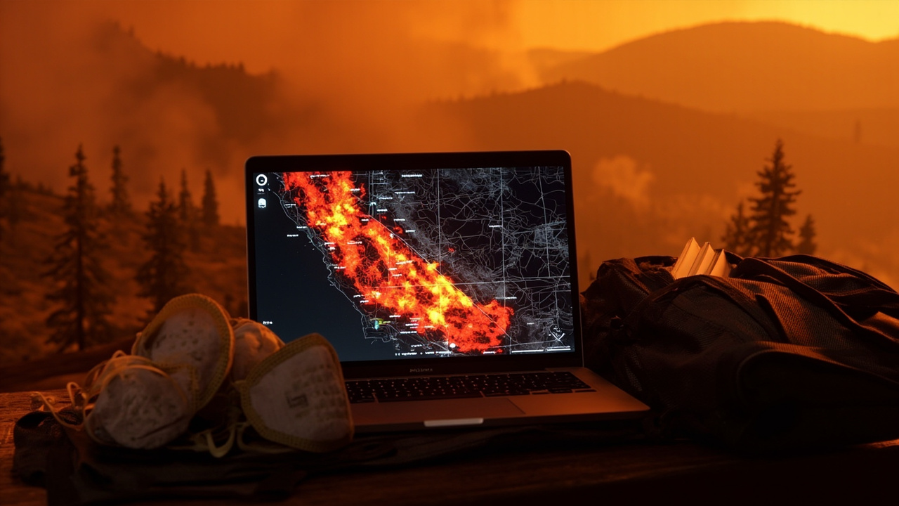
If you searched “fire near me” on September 24, 2026, two official real‑time maps covered the answer at different scales, according to the report titled Fire near me: check CAL FIRE and NIFC real‑time incident maps. CAL FIRE’s Incidents page covered California, while the National Interagency Fire Center covered the United States through its Maps gateway. The California page described its content as “Ongoing emergency responses in California,” according to that same report. The California listing included active wildfires, acres burned and recent perimeters. The national gateway described itself as a “gateway to real-time and historical maps,” according to that same report. The national gateway noted that “Real-time fire perimeters [are] updated daily.” Both pages supported situational awareness rather than immediate evacuation orders. CAL FIRE cautioned that its information “is a representation of the existing wildfire situation,” according to that same report. CAL FIRE also cautioned that its information “is not meant to provide up-to-the-minute evacuation or fire behavior information.” NIFC directed users to incident‑specific pages such as InciWeb for detailed updates. Those feeds also powered many third‑party live maps and apps. A search for “fire near me” therefore often returned both agency maps and derivative trackers. For planning, the guidance was to rely on the agency pages and local emergency alerts for official instructions.
How do you use the CAL FIRE Incidents map?
Enter your county or zoom to your neighborhood on the CAL FIRE interactive map to see active incidents and recent perimeters, according to Fire near me: check CAL FIRE and NIFC real‑time incident maps. The Incidents page listed active wildfires with acres burned. The Incidents page also displayed recent perimeters around those incidents. CAL FIRE published incident data as CSV and GeoJSON through a public API for developers, according to that same report. That public data allowed developers to reuse the same agency incident feed. Residents could also check current wildfire and smoke information through Cal Fire and AirNow, according to Floriston Fire in Nevada County | Updates, Evacuations, and Maps. The California Highway Patrol, Nevada County Sheriff’s Office, Sierra County Sheriff’s Office, CAL FIRE Nevada‑Yuba‑Placer Unit and the U.S. Forest Service coordinated response to the Floriston Fire. That coordination example showed why county names, unit names and highway markers mattered when reading the California map. The Floriston Fire was reported Wednesday near Interstate 80 and Floriston Way, about nine miles northeast of Truckee in Nevada County, according to that ABC10 report. The cause remained under investigation. All lanes of westbound I‑80 had been reopened at the Nevada state line as of Monday evening, according to Caltrans as cited in that report. One westbound I‑80 lane had reopened at the Nevada State Line with a restriction on permit loads. Dog Valley Road was closed in Verdi and residents should not attempt to detour around the closure using Dog Valley Road, according to the Sierra County Sheriff’s Office as cited in that report.
How do you use NIFC, WFIGS and InciWeb nationally?
Open NIFC’s national map to view the interagency WFIGS feed of current perimeters across the U.S., according to Fire near me: check CAL FIRE and NIFC real‑time incident maps. NIFC’s Maps page served as the gateway to real‑time and historical maps. The gateway linked to the WFIGS interagency perimeter dataset. The gateway also pointed to InciWeb for incident‑specific pages. InciWeb is an interagency all‑risk incident web information management system provided by the United States Forest Service and released in 2004, according to InciWeb. Incident information can be accessed by web browser at https://inciweb.wildfire.gov/. Incident information can also be accessed by Twitter and RSS web feed, according to that InciWeb overview. Official announcements on InciWeb include evacuations, road closures, news releases, maps, photographs, and basic information and current situation about the incident. Participating agencies include the United States Forest Service, Bureau of Land Management, Bureau of Indian Affairs, Fish and Wildlife Service, National Park Service, National Oceanic & Atmospheric Administration, Department of the Interior Office of Aircraft Services, National Association of State Foresters and United States Fire Administration. Web traffic averages 2 million plus hits daily during the fire season with the ability to handle 3.5 million hits, according to that overview. The servers were moved to the National Information Technology Center in Kansas City, Missouri on July 16, 2008, along with the release of version 2.0. The Northwest Interagency Coordination Center posted a large‑fires map on Friday, September 18, 2026, according to Northwest Interagency Coordination Center: 9/18/2026 NWCC Large Fires Map. That posting was made at 10:27 AM by the Northwest Interagency Coordination Center.
What did the national fire picture show on September 24, 2026?
The U.S. was at Preparedness Level 2 on September 24, 2026, according to Wildfire Report. Initial attack activity across the country was light, with 56 new fires reported nationwide yesterday. Firefighters were working to manage 29 uncontained large fires. Four new large incidents had emerged, 2 large fires were contained, and 7,344 total personnel were assigned to incidents nationwide. Nationally, 6 Complex Incident Management Teams were committed. So far in 2026, firefighters had responded to 57,004 wildfires that had burned 8,559,351 acres across the United States. The Northwest Area was operating at Preparedness Level 2, coordinating 13 uncontained large fires across the region. An upper level trough would move eastward over the northwest today, bringing southwest winds 15‑20 mph with higher gusts along with afternoon relative humidity in the 15‑25% range across northeastern California and southeastern Oregon. Higher winds with 25‑35 mph gusts were expected across northwestern Nevada including the Sierra Front and western Idaho in combination with relative humidity values of 12‑18%. Above normal temperatures continued across the southern Plains and lower Mississippi Valley along with seasonably low relative humidity and locally breezy north winds. Heavy rain at times along with cloud cover and near to below normal temperatures would continue across the desert Southwest. A strong Nor’easter would continue to bring strong winds, heavy rain, and coastal flooding to the mid‑Atlantic coast. In Hawaii, Tropical Depression 15‑E, forecasted to become Hurricane Nolo, would begin to track northward toward the Big Island, bringing heavy rain, flash flooding concerns, and strong winds. Sacramento was forecast as Sunny, High 91, Low 59. Fresno was forecast as Sunny, High 98, Low 67. Los Angeles was forecast as Mostly Cloudy, High 86, Low 69.
Which California fires were listed around that date?
Northern California was operating at Preparedness Level 2, and Southern California was operating at Preparedness Level 3, according to Wildfire Report. In Northern California, the Floriston fire northeast of Truckee covered 622 acres and was 96% contained in timber and chaparral, with no new information reported. The Chileno fire east of Tomales covered 341 acres and was 95% contained with minimal fire behavior. In Southern California, two Complex Incident Management Teams were committed. The Dome fire in Yosemite National Park spanned 3,989 acres and was 15% contained under Complex Incident Management Team CA Team 3. The Dome fire displayed moderate fire behavior with flanking, uphill runs, and single tree torching. The Timber fire in the Los Padres National Forest southeast of Big Sur stood at 25,443 acres and was 59% contained with moderate fire behavior displaying creeping, backing, and uphill runs. The Timber fire threatened numerous structures and communication infrastructure. The Plaskett fire southwest of Big Sur spanned 29,993 acres and was 97% contained under Complex Incident Management Team CA Team 6. The Plaskett fire exhibited minimal fire behavior with creeping. That Complex Incident Management Team was also managing the Timber incident, and area, road, and trail closures remained in effect. A September 18 infrared reading for the Plaskett fire estimated acreage at 29,984, with a starting perimeter source of Incident/NIFC dated 15 September 2026 at 1443 UTC, according to the incident file Plaskett, CA Wildfire Overview - 18 September 2026. That September 18 file stated that no change was detected along the fire perimeter. That file also stated that no areas of intense fire were detected. Moderate‑sized areas of scattered fire were detected within the northwestern and southwestern portions of the perimeter. An ABC10 update published at 8:54 AM PDT September 18, 2026 and updated at 7:53 AM PDT September 22, 2026 stated the Floriston Fire was 622 acres and 95% contained, according to Floriston Fire in Nevada County | Updates, Evacuations, and Maps. As of 7:00 A.M. that Tuesday morning, the Sacramento Regional Incident Management Team had transitioned command back to the local authorities having jurisdiction. The Evacuation Warning for Zone NCO‑E379‑A had been lifted. Evacuation warnings remained listed for Nevada County zone NCO‑E105 and for parts of Washoe County, Nevada.
How should households prepare for smoke, power loss and evacuation?
If you live in a wildfire‑prone zone, Cal Fire suggested creating a defensible space around your home, according to Floriston Fire in Nevada County | Updates, Evacuations, and Maps. Defensible space was defined as an area around a building in which vegetation and other debris are completely cleared. At least 100 feet was recommended. The Department of Homeland Security suggested assembling an emergency kit that has important documents, N95 respirator masks, and supplies to grab with you if you’re forced to leave at a moment’s notice. The agency also suggested signing up for local warning system notifications and knowing your community’s evacuation plans. Some counties use Nixle alerts to update residents on severe weather, wildfires, and other news. To sign up, residents could visit www.nixle.com or text their zip code to 888777 to start receiving alerts. Truckee Donner Public Utility District was monitoring the Floriston Fire because it could threaten NV Energy transmission lines that supply power to Truckee. If NV Energy shut down the transmission line in an emergency, Truckee Donner Public Utility District customers could lose power without warning. Customers were encouraged to charge devices and prepare for a possible outage. Truckee Donner Public Utility District said it would provide updates as more information became available. Spokane was forecast as Partly Cloudy, High 79, Low 52, while Seattle was Mostly Cloudy, High 62, Low 53 and Yakima was Mostly Cloudy, High 73, Low 54, according to Wildfire Report. Pendleton was Partly Cloudy, High 78, Low 50, while Medford was Mostly Cloudy, High 84, Low 51 and Portland was Cloudy, High 72, Low 57.