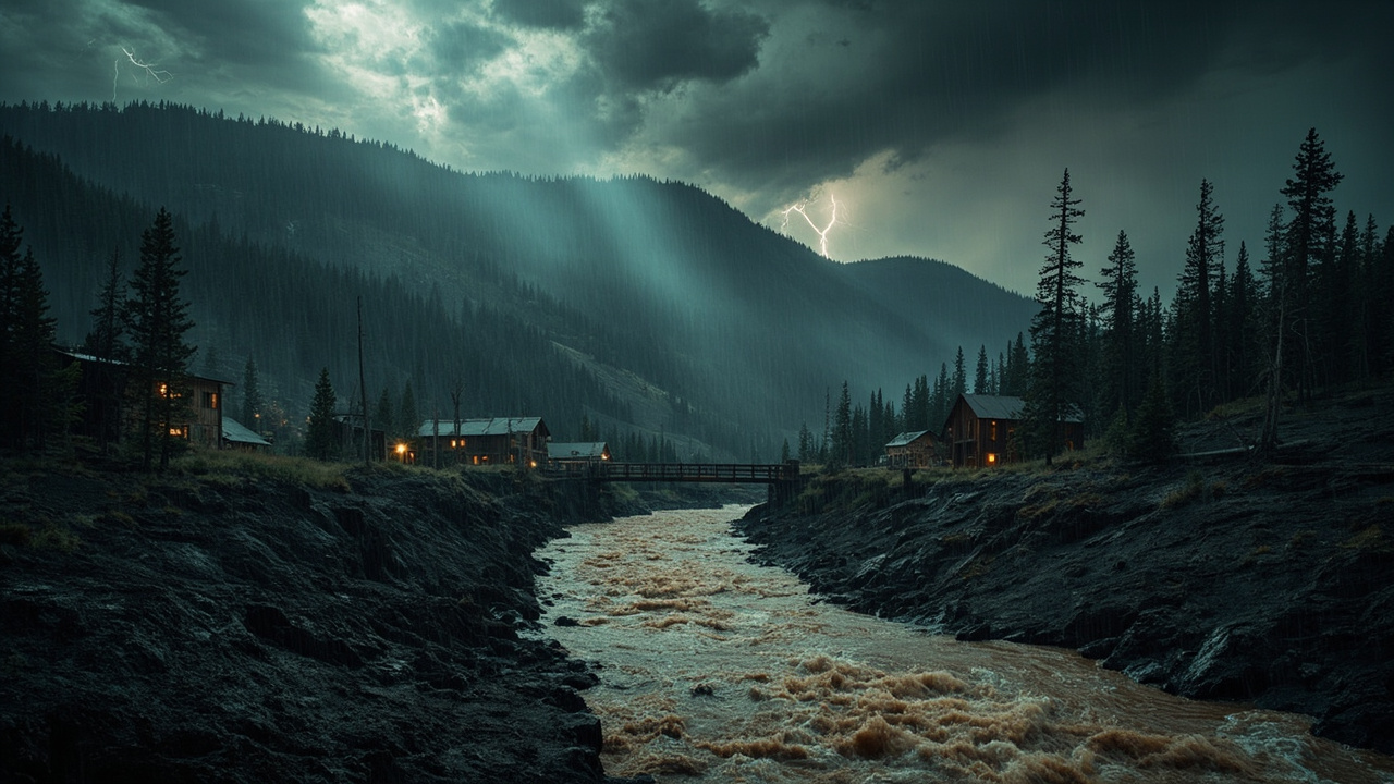
TL;DR: The National Weather Service in Albuquerque issued a Flash Flood Warning for the South Fork burn scar in south-central Lincoln County, New Mexico, effective 11:00 AM to 2:00 PM MDT on September 5, 2026, warning of life-threatening flash flooding and debris flows.
Warning window and issuing office
The National Weather Service in Albuquerque issued a Flash Flood Warning for the South Fork burn scar in south-central Lincoln County in central New Mexico, according to the National Weather Service.
The warning was effective from 11:00 AM MDT until 2:00 PM MDT on September 5, according to the National Weather Service.
A later update stated that the Flash Flood Warning for the South Fork Burn Scar remains in effect until 2 PM MDT that afternoon for south-central Lincoln County, according to the National Weather Service.
The warning identifier was listed as FFWABQ, according to Defcon Level.
The alert severity was listed as severe, its urgency was listed as immediate, and the event was classified as likely, according to Cedar News.
What radar showed at issuance
At 11:00 AM MDT, Doppler radar indicated thunderstorms producing heavy rain over the South Fork Burn Scar, according to the National Weather Service.
Up to 1 inch of rain had fallen at that time, according to the National Weather Service.
Additional rainfall amounts up to 0.5 inches were possible in the warned area, according to the National Weather Service.
Flash flooding was described as ongoing or expected to begin shortly, according to the National Weather Service.
At 11:52 AM MDT, Doppler radar indicated thunderstorms producing heavy rain over the South Fork Burn Scar, according to the National Weather Service.
Between 0.5 and 1.25 inches of rain had fallen at that time, with the heaviest amounts on the northwest side of the burn scar, according to the National Weather Service.
Additional rainfall amounts up to 0.25 inches were possible in the warned area after that update, according to the National Weather Service.
The source for the warning information was listed as radar indicated, according to the National Weather Service.
Communities and drainages named in the warning
Some locations that will experience flash flooding include Ruidoso, Ruidoso Downs, Alto, Glencoe and Hollywood, according to the National Weather Service.
Excessive rainfall over the burn scar will impact Upper Canyon, Brady Canyon, and Perk Canyon as well as the Cedar Creek, Eagle Creek and Rio Ruidoso drainages, according to the National Weather Service.
Impacts will include but are not limited to all nearby reservoirs, bridges, culverts and roadways, according to the National Weather Service.
Impacts to areas along the Rio Ruidoso may extend downstream of Ruidoso Downs, according to the National Weather Service.
The alert was issued for Lincoln County in New Mexico, according to Cedar News.
The alert was described as centered on the area around Ruidoso, New Mexico, according to Emergency Alerts via Forth.
Life-threatening hazard description
The hazard was identified as life threatening flash flooding from thunderstorms producing flash flooding in and around the South Fork Burn Scar, according to the National Weather Service.
The impact was identified as life threatening flash flooding of areas in and around the South Fork Burn Scar, according to the National Weather Service.
The warning stated: This is a life threatening situation, according to the National Weather Service.
Heavy rainfall will cause extensive and severe flash flooding of creeks, streams and ditches in the South Fork Burn Scar, according to the National Weather Service.
Severe debris flows can also be anticipated across roads, according to the National Weather Service.
Roads and driveways may be washed away in places, according to the National Weather Service.
If you encounter flood waters, climb to safety, according to the National Weather Service.
Debris-flow makeup and infrastructure at risk
The debris flow can consist of rock, mud, vegetation and other loose materials, according to the National Weather Service.
Storm details listed Doppler radar indicating thunderstorms producing heavy rain over the South Fork Burn Scar, according to Cedar News.
Potential impact was described as life threatening flash flooding of areas in and around the South Fork Burn Scar, according to Cedar News.
Safety information repeated that heavy rainfall will cause extensive and severe flash flooding of creeks, streams and ditches in the South Fork Burn Scar, according to Cedar News.
Safety information repeated that severe debris flows can also be anticipated across roads, according to Cedar News.
Safety information repeated that roads and driveways may be washed away in places, according to Cedar News.
Safety information repeated that if you encounter flood waters, climb to safety, according to Cedar News.
Broader Flood Watch until evening
A Flood Watch remained in effect until 6 PM MDT that evening, according to the National Weather Service.
The watch covered a portion of central New Mexico, including the South Central Mountains, according to the National Weather Service.
The watch was issued by NWS Albuquerque NM for Lincoln County, NM, according to the National Weather Service.
Flooding caused by excessive rainfall continued to be possible during the watch period, according to the National Weather Service.
Excessive runoff may result in flooding of rivers, creeks, streams, and other low-lying and flood-prone locations, according to the National Weather Service.
Thunderstorms over the Sacramento Mountains will continue from now through the mid afternoon hours, according to the National Weather Service.
A Flash Flood Warning was in effect for areas on and downstream of the South Fork burn scar through 2 PM MDT, according to the National Weather Service.
The flash flood risk will taper off mid to late this afternoon, according to the National Weather Service.
Travel corridors and rainfall rates to watch
A Flood Watch was in effect in the South Central Mountains, according to RV Weather.
Rainfall rates above 2 inches per hour could cause dangerous flash flooding around the Ruidoso-area burn scars, according to RV Weather.
Travel impacts were noted as potentially including along US-380 and US-70, according to RV Weather.
US-70 and US-380 were listed as potentially impacted routes, according to RV Weather.
Households near washes, low crossings and terrain-prone drainages were advised in the broader regional guidance to watch for rapidly rising water, according to RV Weather.
Travelers were advised that a route's weather may vary from the general forecast and to check exact trip conditions, according to RV Weather.
What households should do during the warning period
Residents were urged to stay away from flooded areas and climb to safety if they encounter flood waters, according to Forth.
Those living in areas prone to flooding should be prepared to take action should flooding develop, according to the National Weather Service.
Residents should monitor later forecasts and be alert for possible Flood Warnings, according to the National Weather Service.
Additional details directed readers to http://www.weather.gov/safety/flood for flood safety information, according to the National Weather Service.
Avoid travel through flooded roadways and flooded creek crossings during the warning period.
Keep household members away from creeks, streams, ditches and culverts while the warning remains in effect.
Locate higher ground in advance if your home is near Cedar Creek, Eagle Creek, the Rio Ruidoso, Upper Canyon, Brady Canyon or Perk Canyon.
Maintain a way to receive updated warnings through the afternoon and evening watch period.
Check on neighbors in Ruidoso, Ruidoso Downs, Alto, Glencoe and Hollywood who may need help reaching safety.
How to use the afternoon tapering period safely
The flash flood risk was expected to taper off mid to late in the afternoon, according to the National Weather Service.
That tapering did not end the Flood Watch, which remained in effect until 6 PM MDT that evening, according to the National Weather Service.
Thunderstorms over the Sacramento Mountains were expected to continue from now through the mid afternoon hours, according to the National Weather Service.
Excessive runoff may still result in flooding of rivers, creeks, streams and other low-lying and flood-prone locations during the watch, according to the National Weather Service.
Those living in areas prone to flooding should remain prepared to take action should flooding develop after the warning period, according to the National Weather Service.
Residents should continue to monitor later forecasts and remain alert for possible Flood Warnings, according to the National Weather Service.
Sources referenced
- Flash Flood Warning issued September 5 at 11:00AM MDT until September 5 at 2:00PM MDT by NWS Albuquerque NM (https://www.forth.news/lists/nws/CekeoT92U7Hv5nbabNyqS)